
Station Name: NEW INN BRIDGE HALT[Source: Nick Catford]
halt1.jpg)   As the halt was open for only 8 years, it was not shown on any large scale Ordnance Survey maps as no maps were published during its existence. Its position is indicated on this 1907 1:2,500 map. As the halt was open for only 8 years, it was not shown on any large scale Ordnance Survey maps as no maps were published during its existence. Its position is indicated on this 1907 1:2,500 map.halt2.jpg) Looking west from the B4328 road bridge in September 2016. The halt is behind the photographer. Looking west from the B4328 road bridge in September 2016. The halt is behind the photographer.Photo by Roy Lambeth 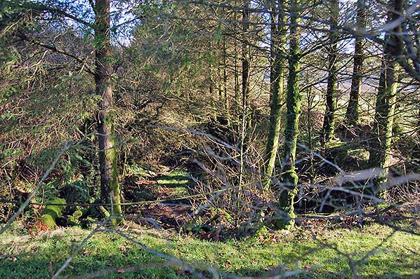
Unlike the cutting on the west side of the road which is relatively clear, even in summer, on the east side of the road the cutting has been planted with trees. This view is looking east at the site of New Inn Bridge Halt in February 2017.
Photo by Richard Martin
|
 Notes: As road transport became more popular throughout West Wales a number of halts were opened in an effort to boost passenger traffic. Four halts were opened on the North Pembrokeshire branch.
 Home Page