An army Coast Defence Radar Station stands on the ridge overlooking the M4 motorway and Swansea Bay 3 miles south east of Port Talbot.
The Coast Defence/Chain Home Low chain was set up to provide radar plotting of both shipping and aircraft movements and operated on the same 1.5 m wavelength as CHL stations. The CD/CHL stations were originally manned solely by the Army, or jointly by all three services, until the RAF assumed responsibility for them. A 60 Group (RAF) Statement Map (2nd edition) identifies Swansea Bay as a CHL (Type 2) Station.
The equipment was housed in a building sharing many similarities with the brick CHL combined transmitter/receiver block, but the gantry supporting the aerial array was mounted on top of the block rather than on the ground with four buttresses for support.
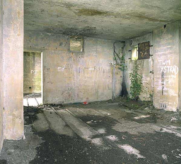
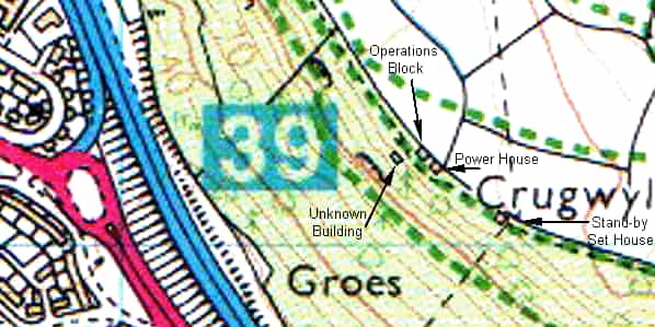
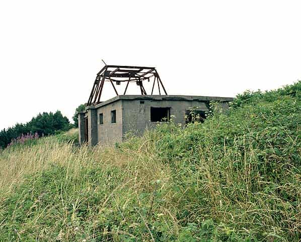
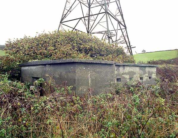
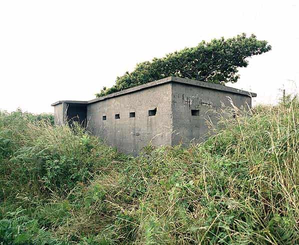
Three concrete buildings survive at the Swansea Bay site on the east side of a public footpath running along the ridge that overlooks Swansea Bay. The largest of these, at the north end of the site, was the operations block which is of the standard design illustrated in the diagram above. It is divided into three rooms with some of the windows retaining their metal shutters. The building is completely empty apart from some wiring remnants. A 10 foot high metal gantry on the roof would have mounted the radar array.
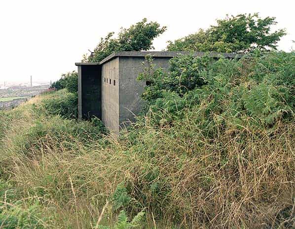
The power house is located a few yards to the south, this is a smaller rectangular concrete building with a blast protected door at one end and small vents high in each wall. As this station was not connected to mains electricity this building would have housed a diesel generator. All that remains now is the concrete engine bed. An identical building stands 100 yards to the south east close to an electricity pylon. This would have housed a standby generator which would have been used if the main set failed.
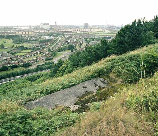
The base of a fourth building can be seen below the ridge close to the operations block; it’s unclear what this building was used for.
Sources:
- 20th Century Defences in Britain published by the Council For British Archaeology ISBN 1 872414 57 5
- Bob Jenner
- Ian Brown