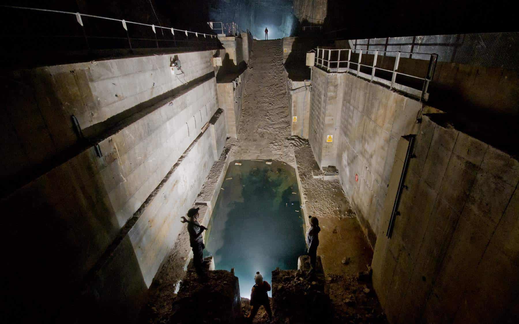
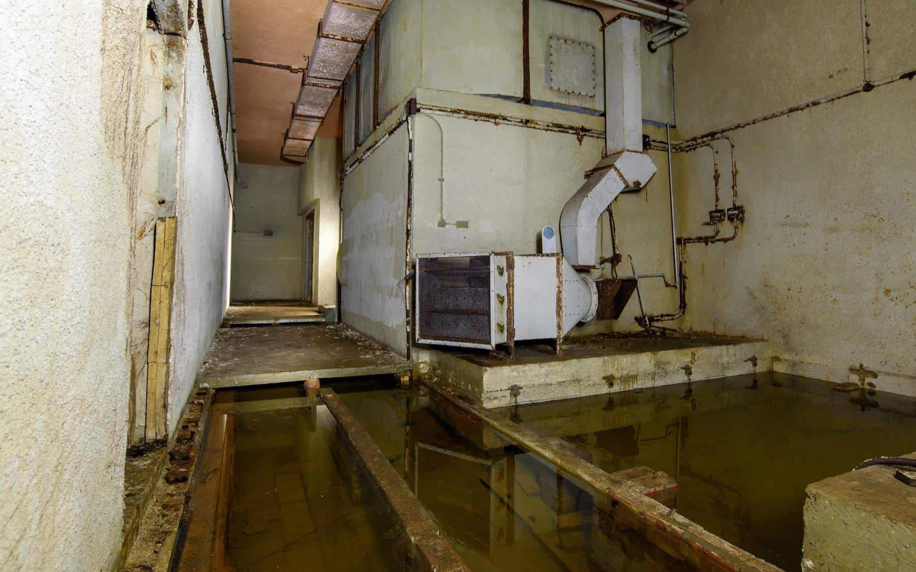
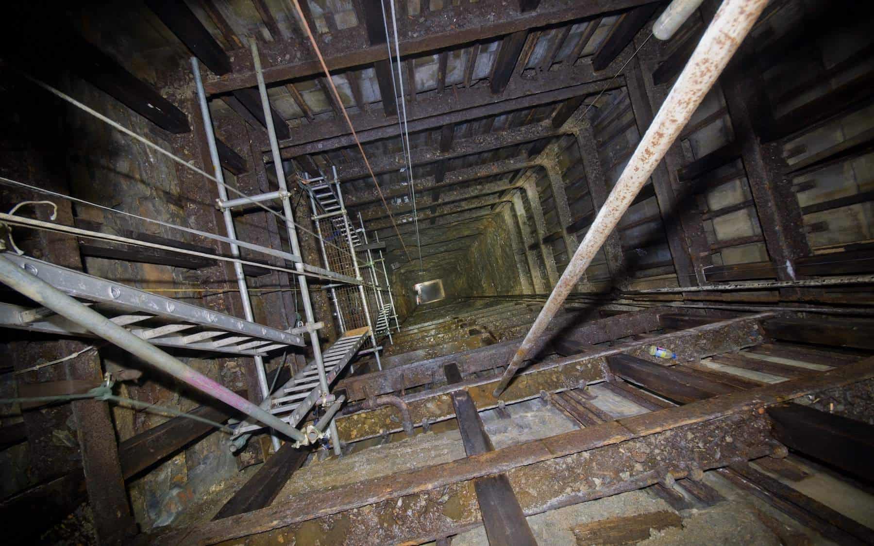
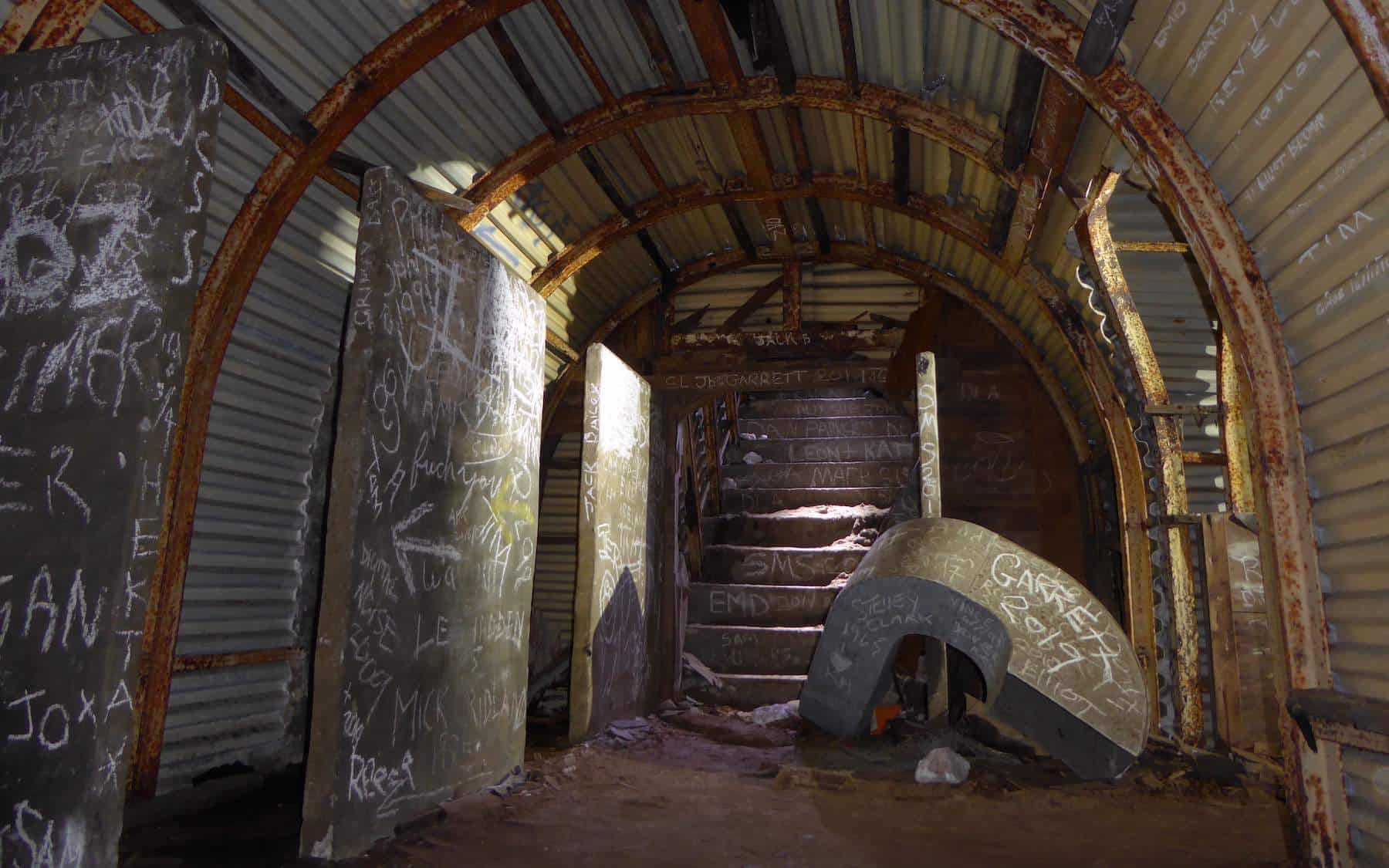
Site Records


All types of underground space (classed into 5 main categories) - from deneholes to dug-outs and from souterrains to subways. Contributions (of suitable and relevant material) from members and the public are encouraged. MOST RECENT ADDITIONS ARE HIGHLIGHTED IN RED

By clicking on the OS Grid reference for each site entry you will see a current map showing the location. This might be in the form of a street map or a general area map. The arrow indicates the precise position. If you see a general area map by clicking on the third 'house' symbol form the left (indicated yellow here) you will see a 1:50,000 OS map, by clicking on the Plus (+) symbol you will see a local street map.

Transport (Railways Canals Road etc):

Isle of Wight Stations

Tilmanstone Colliery

Woodnesborough Colliery

Guilford Colliery

Wingham Colliery

North Woolwich Pier

20th C Military/Defence (not cold war):

Mines & Quarries:

Pre- 20th C Military/Defence:

Miscellaneous:

Special Features:


Warning

Few of these sites are open to the public. Please do not pester site owners to gain access. This causes irritation to many of them and makes Sub Brit's task more difficult, instead, please join one of the specialist societies that can organise visits properly. Sub Brit is one, and there are many others.

If you own, live in or are concerned with a site listed here and wish to contribute or modify your site listing please feel free to contact us. Note: Site owners wishes and concerns are always welcome.


Home Page
Last updated: Tuesday, 06-May-2008 17:36:30 BST
©1998- Saturday, 17-May-2008 17:31:54 BST Subterranea Britannica